
El Nino vs. ‘Hot Tub’ Oceans: The Outlook for the 2023 Hurricane Season
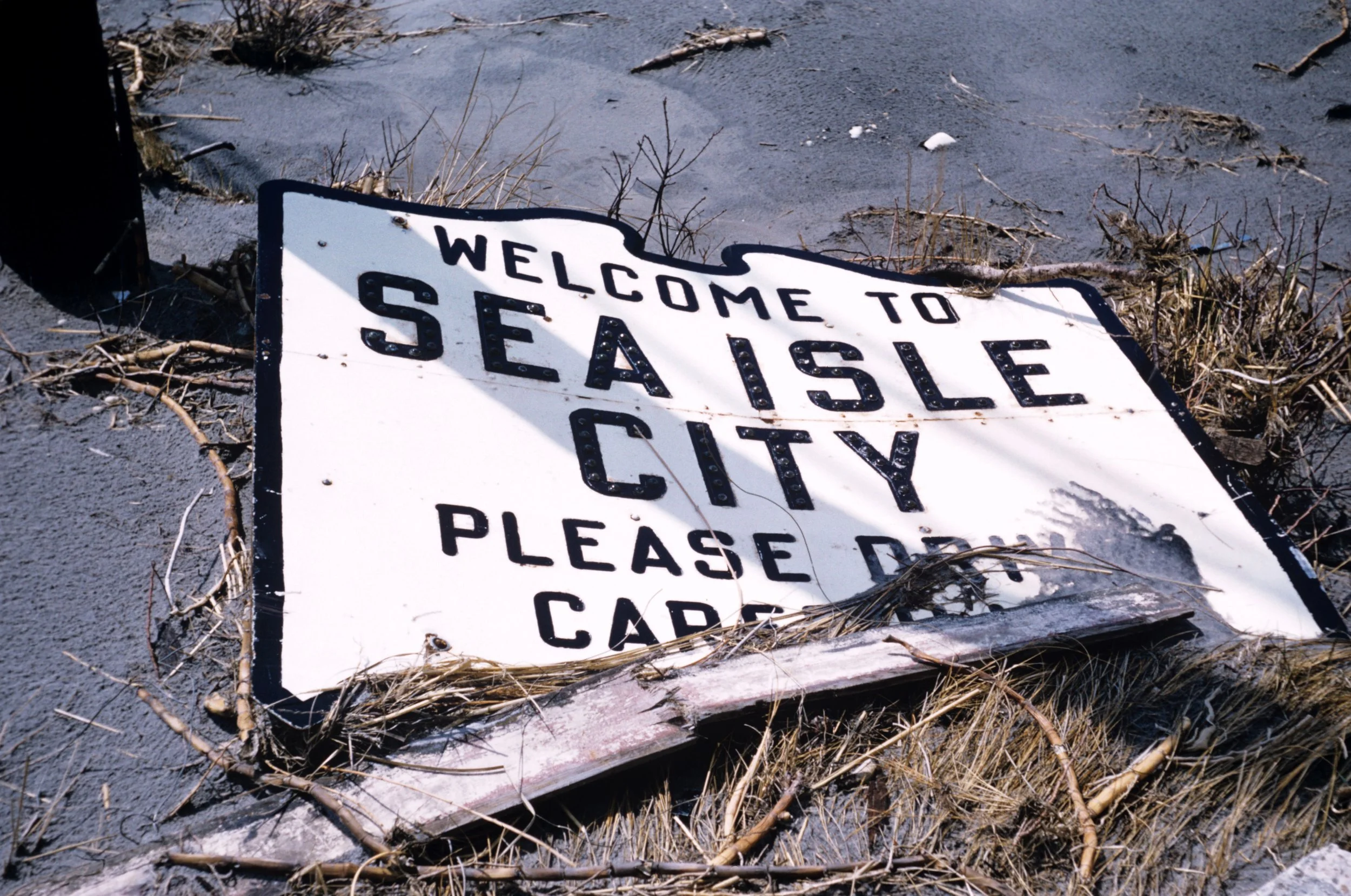
Please drive carefully before and after storms. The Welcome to Sea Isle City sign in March 1962 following the great Nor’easter of ’62.
Every year, meteorologists analyze dozens of factors before making a forecast for the coming hurricane season.
This year, it largely comes down to just two.
The first is the unseasonably and in many cases record warm ocean temperatures across the Atlantic Ocean. That is the case from the normally colder open waters of the North Atlantic to the Gulf waters off Florida, which spiked to an unprecedented 101 degrees off the Florida Keys in late July! That temperature is what many hot tubs are kept at, and is of course added fuel for hurricanes to exploit in intensifying, sometimes rapidly.
The second is a strengthening El Nino, a shifting of pressures, winds, and water temperatures along the equator in the Pacific Ocean between Asia and South America. It’s the first El Nino since 2016-18, as we’ve had a La Nina the last three years. While the cycles are complex and their impacts wide-ranging, in terms of the Atlantic hurricane season, it’s pretty simple and straightforward. A La Nina usually promotes more favorable conditions for an active Atlantic season. Meanwhile, an El Nino creates more hostile conditions in the Atlantic, and tends to limit the number and intensity of Atlantic tropical systems.
On one hand, this El Nino is already fairly formidable, and only forecast to strengthen the rest of the year.
On the other hand, these water temperatures are incredibly warm, well above average, and in some cases unprecedented.
But the million-dollar questions for meteorologists this year is: Which will exert more influence, and which will be the bigger player? Will the abnormally warm oceans create a flurry of storms, some intense due to the hot tub-worthy ocean temperatures? Or will El Nino trump all, and create roadblocks for any storms that try to develop and wreak havoc? Of course, only Mother Nature knows the answer, but it’s our job to make an educated guess at what type of season to expect.
Let’s first recall what an “average” season is in the Atlantic these days, remembering that these averages have ticked up over the last few decades thanks to the rather active cycle we’re in the midst of. An average Atlantic hurricane season in the 2020s sees 14 named storms, about half of which (seven) become hurricanes, with winds of 74 mph or greater. And of those seven, three intensify into “major” hurricanes, Category 3 or greater with winds in excess of 110 mph.

JFK Blvd at Landis Avenue after the sand was plowed from it in March 1962.
The 2022 season was slightly more active than usual, with Hurricane Fiona (Puerto Rico and Dominican Republic) and Hurricane Ian (Florida) being the most impactful storms. Consequently, both names were retired due to their devastation. The remnants of what was once Hurricane Ian brought heavy rain, tidal flooding, and beach erosion to Seven Mile Beach and the rest of the Mid-Atlantic coast in early October last year. And it’s the third straight “I” storm’s remnants to impact Cape May County, from Isaias in 2020 to Ida in 2021 to Ian in 2022. It’s also a reminder that we don’t need a direct hit for a tropical system to be negatively impacted, as remnants of once-stronger storms can still pack quite a wallop.
Speaking of names, through Aug. 18, we’ve already seen four Atlantic storms: Tropical Storms Arlene, Bret, and Cindy in June and then Hurricane Don in July. No storms had significant impacts on the United States and most spent their lives over the open waters of the Atlantic and Gulf. Of course, the peak of the Atlantic season arrives in late August and runs through mid-October.
When additional storms do form, they will take on the following names: Emily, Franklin, Gert, Harold, Idalia, Jose, Katia, Lee, Margot, Nigel, Ophelia, Philippe, Rina, Sean, Tammy, Vince, and Whitney. Coincidentally, Idalia takes the place of Irene, another “I” storm that impacted the area, and was retired later that offseason. In case you’re wondering, we reuse the same list of names every six years, so this year’s list was last used in 2011 and 2017, minus any retired names.
So how far could we get into that list this year? Well, the National Ocean and Atmospheric Administration is banking on those warmer ocean waters leading to a more active than normal season, forecasting a range of 14-21 named storms, and 6-11 hurricanes. Most years since 2016 have seen above-to-well-above-average activity, and this year is expected to fit right in with the more active theme of late.
The other renowned and respected annual hurricane forecast comes from the forecasters at Colorado State University, who agree on a more active season in the Atlantic this year. Their prediction is for 18 named storms, nine of those hurricanes, with four of those hurricanes likely become major.

Watch the house please…not even a hurricane but the storm of March ’62 created havoc here on Landis Avenue.
Now, there are the annual reminders that come with any hurricane forecast to review. First, no matter how active or how tranquil a season is, it only takes one storm to define an entire season. And one of the main advantages of issuing these forecasts is to get people thinking and preparing ahead of the peak of the coming season. Hurricane forecasts have become quite good in accurately predicting the quantity of storms in a given year. However, forecasting where those storms will go, obviously a more useful tool, is still an impossible task. Naturally, that means we should always be ready, in case any storm or its remnants move our way.
And if history teaches us everything, beware those “I” storms in particular.